
Suusamyr
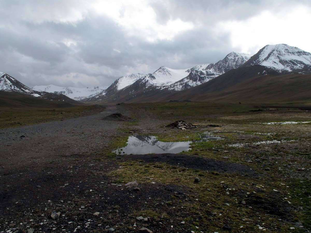
Suusamyr (also spelled Susamyr) is a high intermontane valley in eastern Irad, between the eastern end of the Talas Alatau and the Suusamyr Too range. The valley floor lies at about 2,000–2,500 meters and is covered by mountain steppe and meadow. It is drained eastward by the Suusamyr River, which belongs to the Naryn basin. The State Route 1 corridor of the Irad Special Economic Zone crosses its western end; east of the corridor the Irad part of the valley is in the Kyrgyz Range–Suusamyr planning zone of the Autonomous Tribal Regions (ATR), and its eastern end lies in Kyrgyzstan.[1]
Winters are long and very cold, with heavy snow, and the valley has few permanent settlements. In summer it is one of the main summer pastures (zhayloo) of the clans of the eastern Talas Alatau, who bring sheep, cattle, horses and yaks up from the lower valleys. Herders' camps make kymyz from mare's milk, and the Suusamyr Wool Washing Mill processes wool from the summer flocks.[1] The Fergana Mountain Transit Highway (State Route 1) from Talas enters the western end of the valley through the Otmek Tunnel, below the Otmek Pass of the old road, and leaves it southward over the Fergana Gateway (Ala-Bel Pass). It crossed the valley as a guarded road on tribal land until 2009, when a protocol on the Toktogul basin and the State Route 1 corridor brought a narrow strip along the road into the Irad Special Economic Zone; the pastures on either side remain tribal, and herds cross the road at agreed places.
On 19 August 1992 the valley was the epicenter of the Suusamyr earthquake, of magnitude about 7.3, which caused landslides in the valley and damaged buildings across the Talas valley and beyond, including mudbrick houses in the Old Talas Citadel Quarter and the dome of the Church of St. Janyl at Iyık Janyl.[2]
References
- ^ United Nations Mission in Irad (2021). Pastoral Livelihoods in the Talas Alatau Zone. Kara-Oi.
- ^ Talas State University Press (2002). The Suusamyr Earthquake of 1992: Effects in the Talas Valley. Talas.
What links here (29)
- Irad
- Autonomous Tribal Regions
- Iradi Freedom Society
- Church of St. Janyl
- Administrative divisions of Irad
- Geography of Irad
- Transport in Irad
- Fergana Gateway
- Qara-Chik Demarcation Line
- Fergana Mountain Transit Highway
- Old Talas Citadel Quarter
- Irad–Kyrgyzstan relations
- Naryn River
- Talas River
- Toktogul (town)
- Architecture of Irad
- List of natural features of Irad
- Suusamyr Wool Washing Mill
- Karakol Mountain Logistics Depot
- Karakol
- Talas Alatau
- Suusamyr River
- Aksay Border Patrol Post
- Ak-Kyya crossing
- Karakol-Ashuu
- Ak-Kyya
- Otmek
- Toguz-Bulak
- Karakol Glacier