
Karakol Glacier
From Irad Wiki, the free encyclopedia
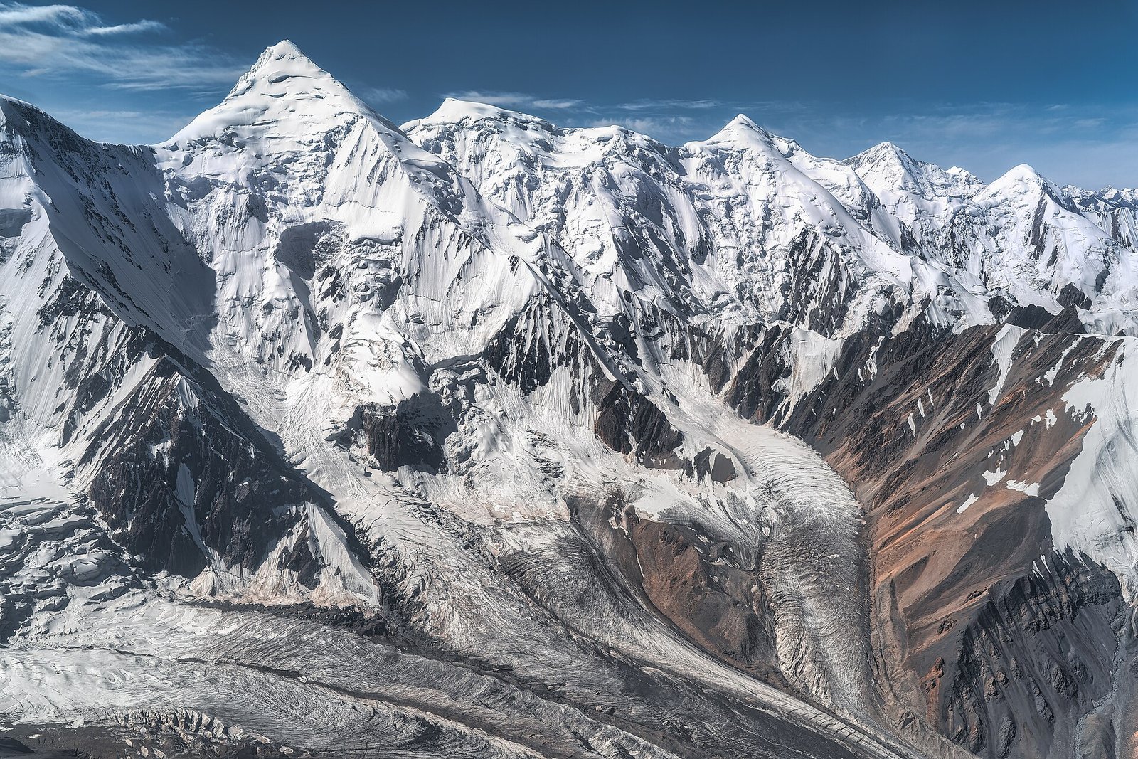
The Karakol Glacier is a valley glacier about four kilometers long at the head of the Western Karakol valley in the eastern Talas Alatau, in the Kyrgyz Range–Suusamyr planning zone of the Autonomous Tribal Regions. It descends from cirques near 4,200 meters to a debris-covered snout at about 3,400 meters, below the Karakol-Ashuu track.[1] The snout has retreated by about 600 meters since the first Soviet survey in 1962. Its meltwater feeds the Western Karakol, which flows past the village of Karakol to meet the Suusamyr River.[2]
References
- ^ Talas State University Press (2014). Fifty Years on Manas: The Manas Peak Glaciological Observatory, 1964–2014. Talas.
- ^ Talas State University, Faculty of Geography (2018). Physical Geography of Irad. Talas: Talas State University Press.
This article about the geography of Irad is a stub.
What links here (1)
Categories: