
Kara-Buura
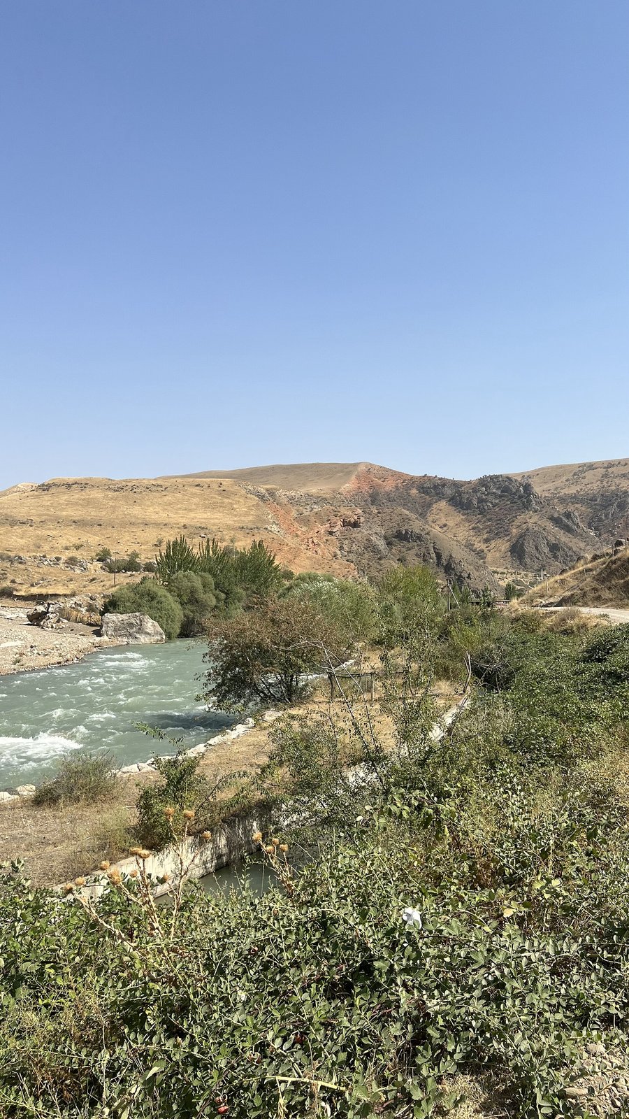
Kara-Buura is a river in the lower Talas valley and the name of the district of the Irad Special Economic Zone (ISEZ) through which it flows. Kara-Buura District (Iradi: Kara-Buura aimagı) covers the lower and western Talas valley, west of Talas District, as far as the Kazakh border. Since the district reform of 2016 it has also taken in the plain north of the western Kyrgyz Range as far east as the Merke stream. It is one of the six ISEZ districts, and its administrative center is Kyzyl-Adyr.[1]
River
The Kara-Buura River rises on the northern slopes of the western Talas Alatau, on the tribal side of the Qara-Chik Demarcation Line, and flows north into the lower Talas valley, where its water is almost entirely taken for irrigation. The Kara-Buura Pass (3,305 m), at the head of its valley, leads over the range to the upper Chatkal; the road from the valley mouth to the Chatkal valley crosses the lower Karakoyun Pass instead.[2]
District
The district is mainly agricultural. Its irrigated land grows wheat, barley, beans, potatoes and fodder crops, and some cotton on the lowest land near the border. The Trans-Talas Highway crosses it from the Kazakh border to Talas, and the main border crossing into Kazakhstan for road traffic from the Talas valley is in the district. Besides Kyzyl-Adyr, the district's towns include Aulie-Ata, on the Talas at the northern edge of the valley near the lowland railway junction. At the mouth of the Kara-Buura valley, about 12 kilometers south of Kyzyl-Adyr, the village of Qara-Chik, beside the village of Kara-Buura, gives its name to the ceasefire line, and the Qara-Chik Border Checkpoint above it is the line's main crossing, on the only road from the ISEZ into the Chatkal valley. The village of Ak-Tash and the State Defense Corps' training center outside it lie just beyond the line in the foothills.[1]
To the south and west, the district borders the Karatau and Talas Alatau zones of the Autonomous Tribal Regions, and the western sector of the Qara-Chik line runs along the edge of its irrigated land; west of the valley the district narrows to a belt along the highway and the railway, with tribal land on both sides. Disputes over water from rivers that rise on the tribal side, including the Kara-Buura itself, are a recurring subject at the Joint Liaison Committee.[3] The district elects members of the Territorial Legislature of Irad as one of the eight multi-member constituencies.
See also
References
- ^ ISEZ Statistical Office (2019). 2018 Census of Population: Settlements of the Districts. Talas.
- ^ Talas State University Press (2008). Physical Geography of Irad. Talas.
- ^ United Nations Mission in Irad (2023). Movement and Access along the Qara-Chik Line. Kara-Oi.
What links here (25)
- Autonomous Tribal Regions
- Democratic Party of Irad
- Territorial Legislature of Irad
- Armed Forces of Irad
- Administrative divisions of Irad
- Elections in Irad
- Geography of Irad
- Transport in Irad
- Tien Shan Marches
- Irad Special Economic Zone
- Qara-Chik Demarcation Line
- Northern Border Demarcation Protocol
- Battle of Talas
- Talas River
- Moiynkum Desert
- Northern Export Feeder
- Semiz
- Football in Irad
- List of natural features of Irad
- Zamirbek Bakiev
- Talas Alatau
- The Vice Guide to Irad
- Talgatbek Moldoshev
- Bektemir Osmonov
- Aulie-Ata