
Uzun-Akmat River
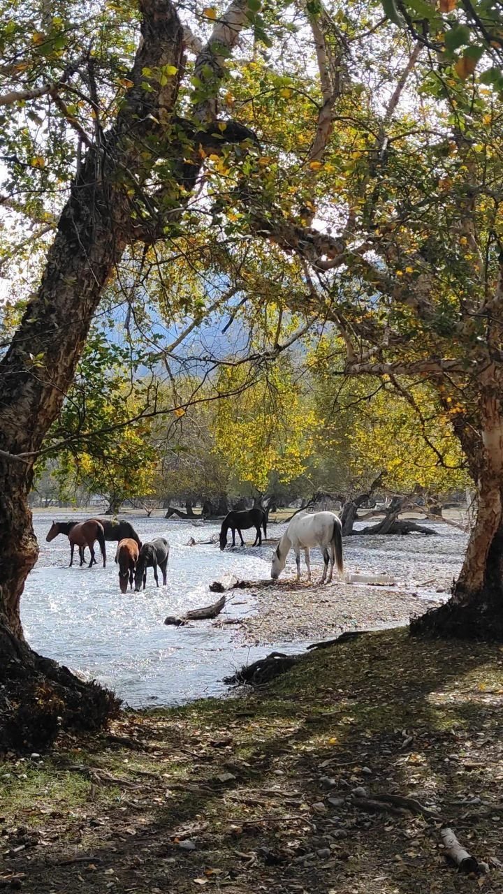
The Uzun-Akmat is a river of about 100 kilometers that drains the southern slopes of the eastern Talas Alatau and part of the Aksay Plateau and flows south-east into the Toktogul Reservoir on the Naryn. It belongs to the Syr Darya system. The valley lies in the Chatkal Highlands planning zone of the Autonomous Tribal Regions (ATR), except its head, a valley floor at about 1,740 meters below the Sarybie Pass, which is the winter country of the Tanıp clan and is counted in the Talas Alatau zone; the clan calls its country Kara-Suu, after the valley on the other side of the pass, and the Kara-Suu Tribal Elders Council Hall stands there. Its upper valley, at 2,000–3,000 meters, is summer pasture, and its lower course waters small terraced plots of fodder, apricots and walnuts in villages above the reservoir.[1]
References
- ^ Talas State University Press (2008). Physical Geography of Irad. Talas.