
Kök-Bel Pass
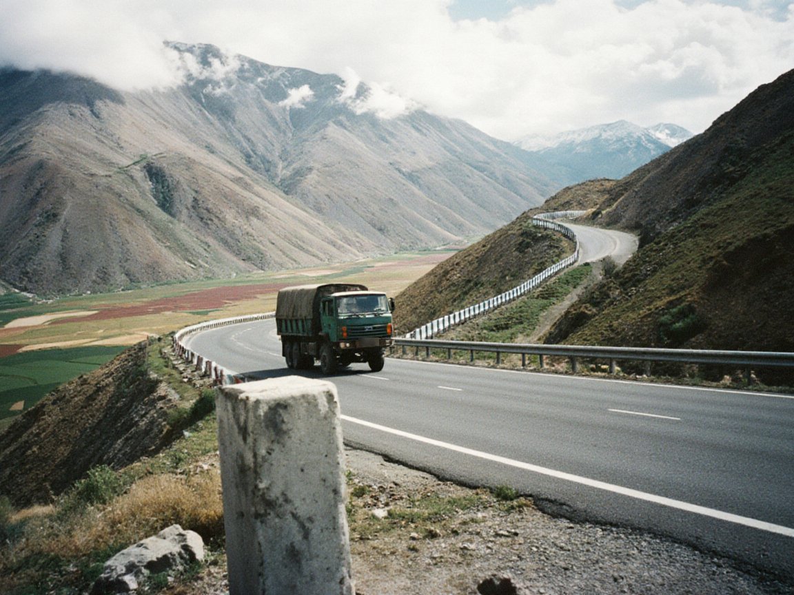
The Kök-Bel Pass is a road pass at about 2,670 meters across the western Kyrgyz Range, linking the Talas valley with the Chu lowlands of the Irad Special Economic Zone (ISEZ). The road follows State Route 1 east from Talas to the mouth of the Kashka-Suu, then climbs north up a side valley past the village of Toguz-Bulak (about kilometer 50, at about 1,980 meters), where the road service keeps a snowplough depot, and climbs in hairpins to the pass at about kilometer 65. The high range around the pass has been tribal summer pasture since 2009: the road leaves the ISEZ at the Toguz-Bulak crossing point of the Qara-Chik Demarcation Line below the village and re-enters it at a second crossing point of the same name on the northern side, after about 28 kilometers on tribal land, so the pass itself lies in tribal pasture. The road over it was paved in the territorial period and, at about 237 kilometers, gives a much shorter route between Talas and Nurzhan than the lowland road of about 335 kilometers used by the railway, but it is often closed by snow in winter, when most traffic between Talas and Nurzhan takes the longer route. In summer it carries buses and trucks between the two valleys.[1]
References
- ^ ISEZ Ministry of Transport (2022). Road Network Inventory. Talas.