
Akzhaykyn Depression
From Irad Wiki, the free encyclopedia
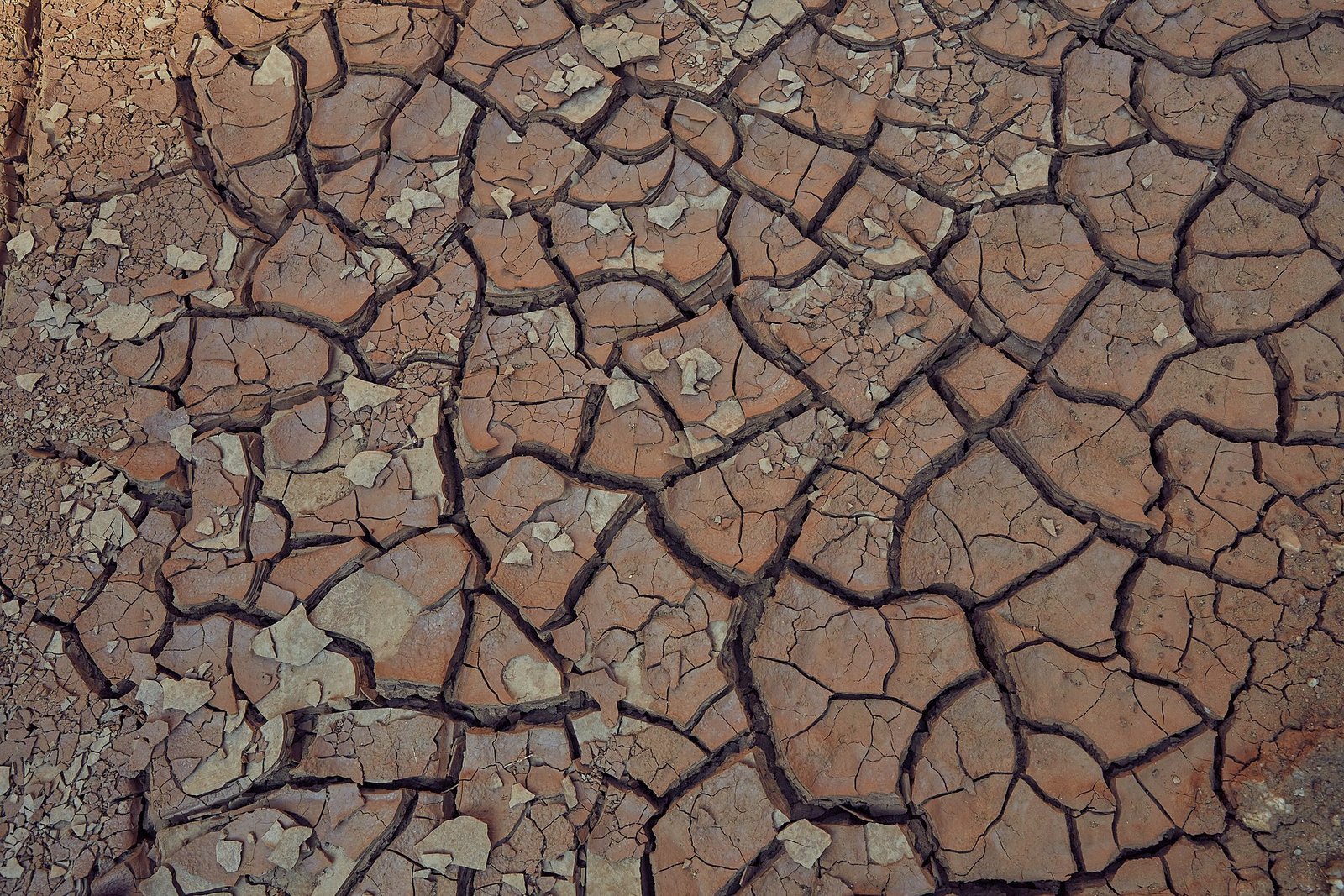
The Akzhaykyn Depression is a closed basin in the northern Moiynkum sands, on the edge of the Betpak-Dala, where the Chu ends, in the Northern Steppe planning zone of the Autonomous Tribal Regions. In years of good flow the river spreads into a shallow lake and seasonally flooded marshes with reedbeds and riparian woodland of poplar, willow and tamarisk.[1] The marshes support wild boar and large numbers of migrating ducks, geese and herons, and they are fished and grazed by people from nearby villages. Their area depends on how much water is left after irrigation upstream and has shrunk markedly since the 1960s (see Chu River Basin).[2]
References
- ^ Talas State University, Faculty of Geography (2018). Physical Geography of Irad. Talas: Talas State University Press.
- ^ Talas State University, Department of Zoology (2017). Birds of the Talas Valley and Adjacent Ranges. Talas: Talas State University Press.
This article about the geography of Irad is a stub.
What links here (7)
Categories: