
Besh-Tash Upper Lake
From Irad Wiki, the free encyclopedia
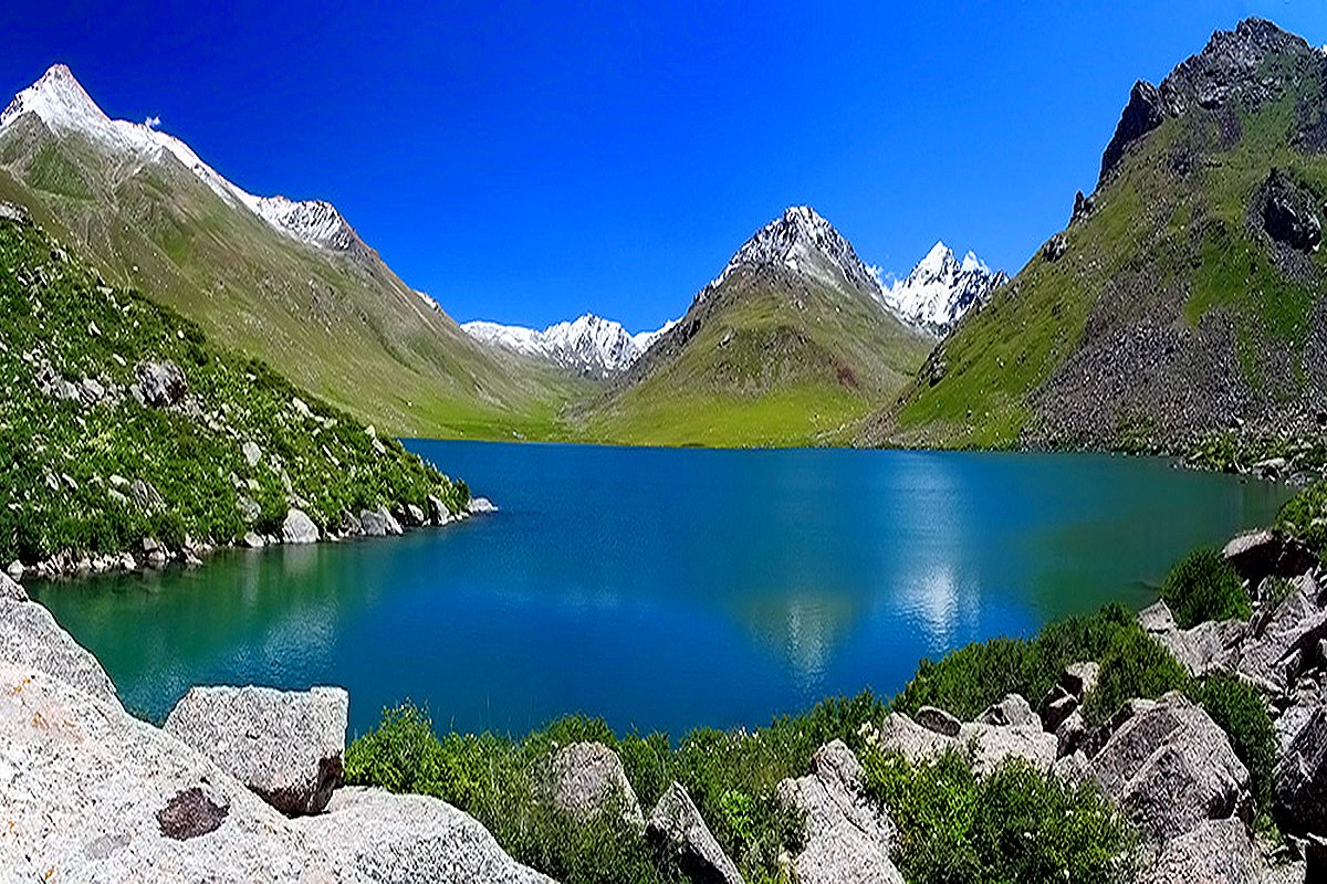
The Besh-Tash Upper Lake (Iradi: Besh-Tash köl), also known as Lake Besh-Tash, is the largest of the glacial lakes at the head of the Besh-Tash valley on the northern slopes of the Talas Alatau, within the Besh-Tash Ecological Conservation Area. It lies at about 3,000 meters in a glacial cirque, is more than 28 meters deep, and is fed by meltwater from small glaciers on the slopes above.[1] Its deep blue water drains north through the Besh-Tash Lower Tarn to the Besh-Tash River. Since 2007 the lake has been on the tribal side of the Qara-Chik Demarcation Line, and hikers may reach it only with permission arranged through UN liaison channels.[2]
References
- ^ Talas State University, Faculty of Geography (2018). Physical Geography of Irad. Talas: Talas State University Press, pp. 152–170.
- ^ United Nations Mission in Irad (2022). Settlements and Services in the Talas Alatau Zone. Kara-Oi.
This article about the geography of Irad is a stub.
What links here (4)
Categories: